A simple, full-service process
You never have to touch a sonar unit or learn new software. From the first conversation to the final delivered map, our team handles the entire process for you.
Consult & Plan
We learn your goals, then design a survey plan and transect coverage tailored to your waterbody.
On-Site Data Collection
Our team travels to your site and collects survey-grade sonar and GPS data from our boat — you don't lift a finger.
Processing & Review
Data is processed and quality-reviewed by our hydrographers and GIS specialists for accuracy.
Delivered Maps & Reports
You receive finished, cloud-accessible maps, data layers, and a clear report ready to share.
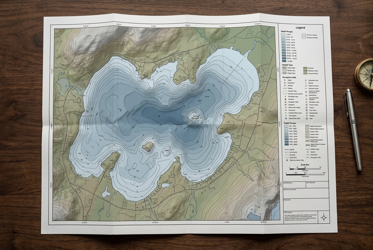
Decision-ready deliverables
Every survey is delivered in the formats your team actually uses — from GIS-ready files for your engineers to beautiful printed maps for your board and residents.
Ready to see what's beneath the surface?
Tell us about your waterbody and goals. We'll plan the survey, collect the data on-site, and deliver finished maps and reports — no software to learn, no fieldwork on your end.