Mapping water, so you can manage it
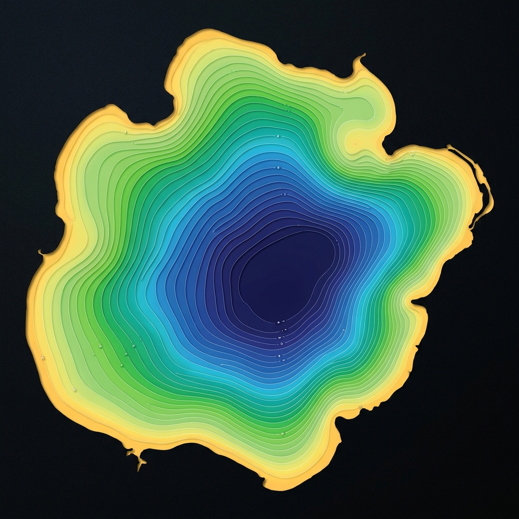
Lake Monitor AI is a full-service lake and reservoir mapping company serving the United States and Canada. We combine survey-grade sonar, GPS and modern processing to turn any waterbody into clear, reliable maps and reports.
Our mission is simple: make the underwater world visible and actionable for the people who care for it — water districts, communities, associations and landowners alike. We travel to your site, do the work, and deliver results you can act on with confidence.
Accuracy First
Survey-grade equipment and rigorous QA mean you can trust every number and contour we deliver.
Environmental Stewardship
Healthy waterbodies matter. Our data supports responsible vegetation, sediment and habitat management.
Full-Service, Always
We handle the fieldwork, processing and delivery so your team can focus on decisions, not data collection.
Ready to see what's beneath the surface?
Tell us about your waterbody and goals. We'll plan the survey, collect the data on-site, and deliver finished maps and reports — no software to learn, no fieldwork on your end.