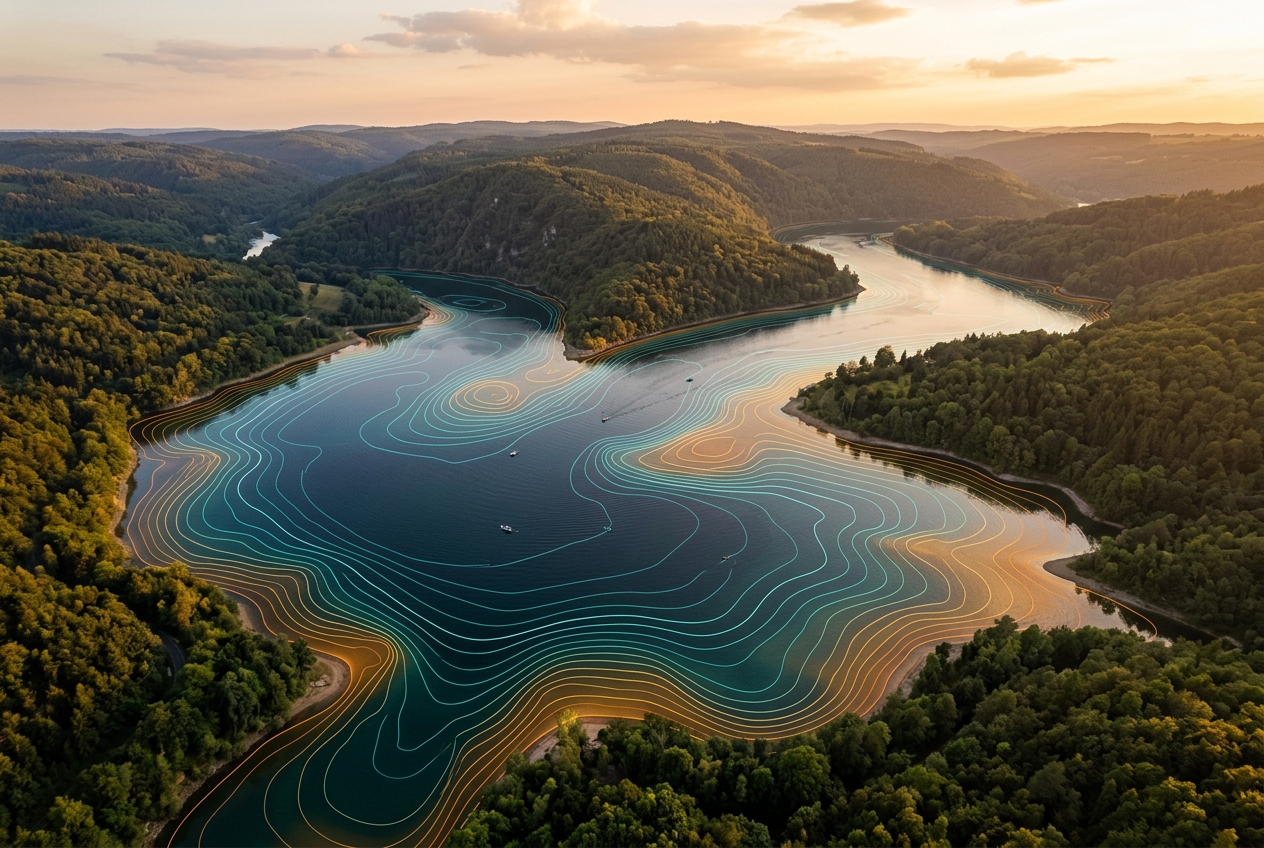
Precision maps of everything beneath the surface
Lake Monitor AI comes to your waterbody, collects survey-grade sonar data, and delivers finished depth, vegetation, habitat and GIS maps. We do the work — you get the insight.
Explore a finished survey
This is the kind of map you receive. Hover for live depth readings, switch layers, compare two survey years, click two points to measure — then download a snapshot to share.
Sample Survey: Clearwater Reservoir (demo data)
Hover or tap anywhere on the map to read live depth, vegetation and bottom type.
Quality-Reviewed Data
Every dataset is checked by our hydrographers before it reaches you.
Cloud-Accessible Maps
Access your finished maps and data anywhere, ready to share.
Expert Field Team
Trained surveyors and GIS specialists handle everything on-site.
US & Canada Coverage
We travel to your waterbody across the United States and Canada.
A complete picture of your waterbody
From depth and sediment to vegetation and fish habitat — one team, one survey, every layer you need.
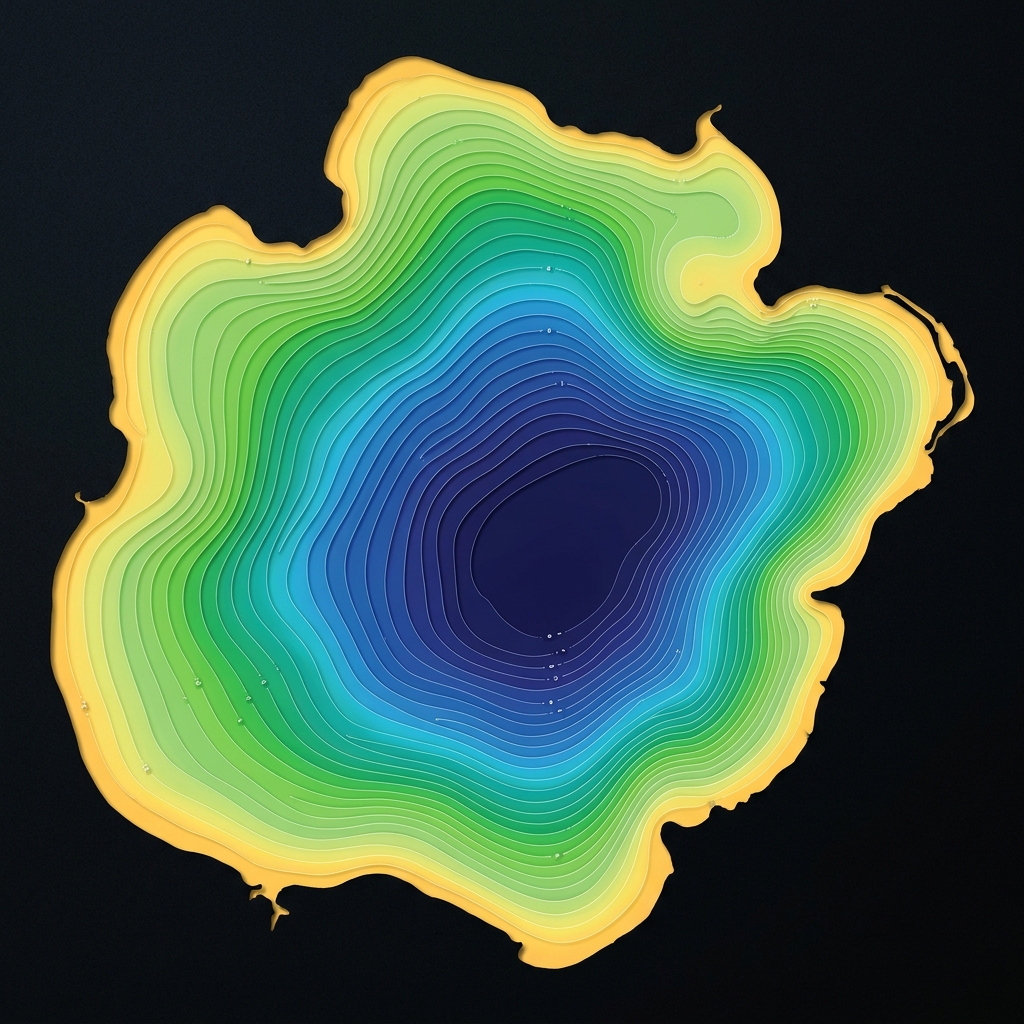
Bathymetric / Depth Mapping
Detailed, accurate depth maps of any waterbody.
Learn more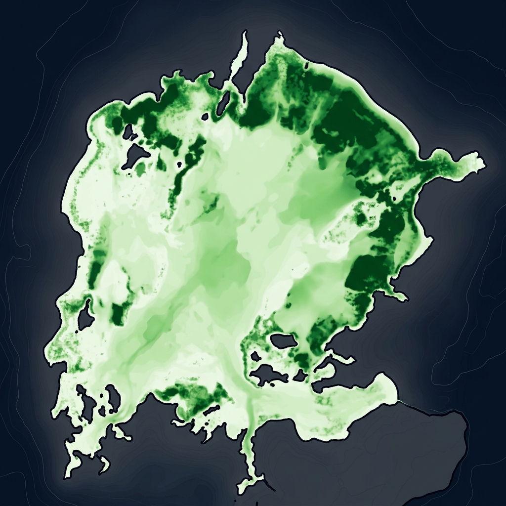
Aquatic Vegetation Mapping
Plant presence, coverage and biovolume for lake health.
Learn more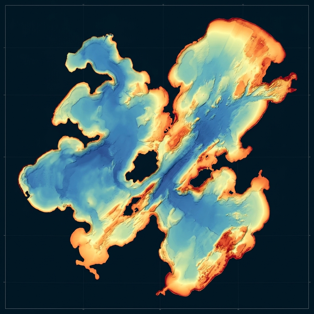
Bottom Composition & Hardness
Map soft sediment vs. firm bottom across the basin.
Learn more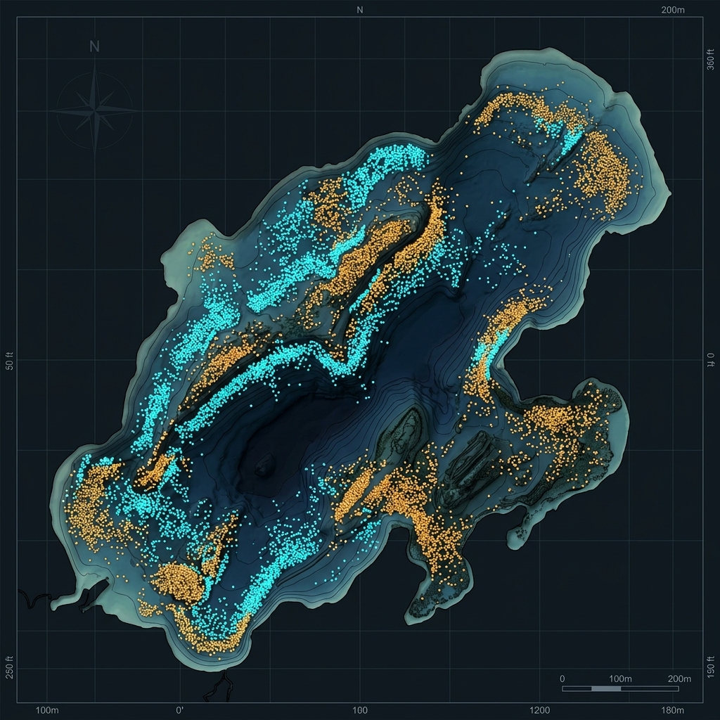
Fish & Habitat Mapping
Fish counts, depths, sizes and density.
Learn more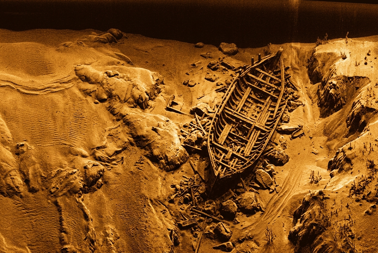
Side-Scan Imagery & Contours
High-resolution imagery of submerged features.
Learn more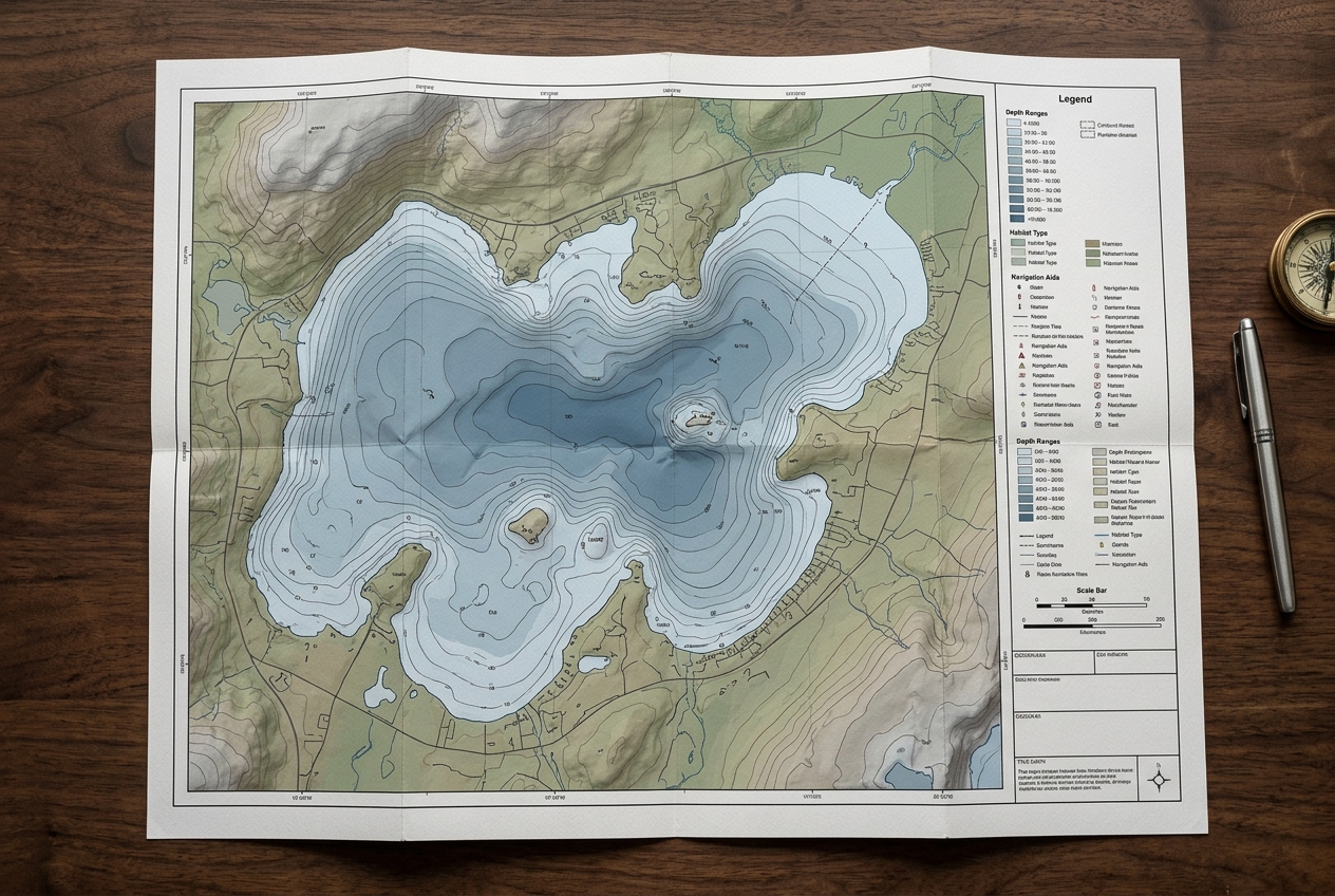
GIS Map Services
Custom digital and print maps for stakeholders.
Learn moreFull-service from first call to final map
Consult & Plan
We learn your goals, then design a survey plan and transect coverage tailored to your waterbody.
On-Site Data Collection
Our team travels to your site and collects survey-grade sonar and GPS data from our boat — you don't lift a finger.
Processing & Review
Data is processed and quality-reviewed by our hydrographers and GIS specialists for accuracy.
Delivered Maps & Reports
You receive finished, cloud-accessible maps, data layers, and a clear report ready to share.
Tailored to your waterbody
Water Resources & Reservoirs
- Track reservoir storage capacity and sedimentation over time
- Plan dredging with accurate volume and hardness data
- Document conditions for regulatory and public reporting
Community & Municipal Lakes
- Understand depth and vegetation for recreation and safety
- Guide fisheries and habitat improvement programs
- Share clear maps with councils and the public
HOAs & Lake Associations
- Justify vegetation and dredging budgets with real data
- Monitor lake health year over year
- Give residents professional, easy-to-read maps
Homeowners & Private Ponds
- Know the true depth and volume of your pond
- Plan stocking, aeration or dredging with confidence
- Get a beautiful map of your own waterbody
Ready to see what's beneath the surface?
Tell us about your waterbody and goals. We'll plan the survey, collect the data on-site, and deliver finished maps and reports — no software to learn, no fieldwork on your end.